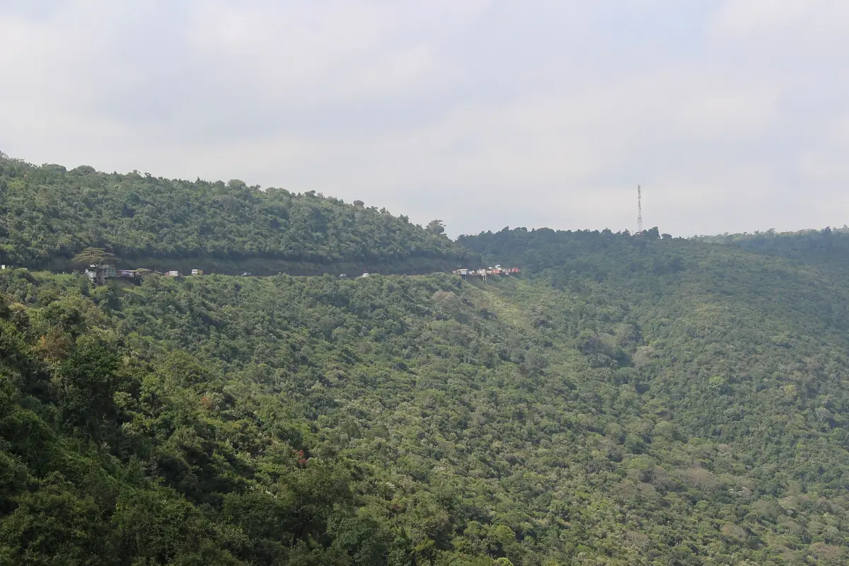
The Great Rift Valley in Kenya at a glance
The Great Rift Valley is a long trough where the earth's crust is pulling apart. In Kenya it shows up as a chain of lakes, volcanic hills and steep walls on both sides of a dry valley floor. The Nakuru area is one of the easiest places to see it, because Lake Nakuru, Lake Elementaita and Lake Bogoria all sit in the valley and share a UNESCO listing, the Kenya Lake System, inscribed in 2011.
The valley is not only a view. It explains why hot springs and geothermal fields appear in places, and why the scenery changes so quickly on a short drive. If you are planning a trip, start with day trips from Nairobi to Lake Nakuru, which follow the A104 into the valley, then add stops from this page.
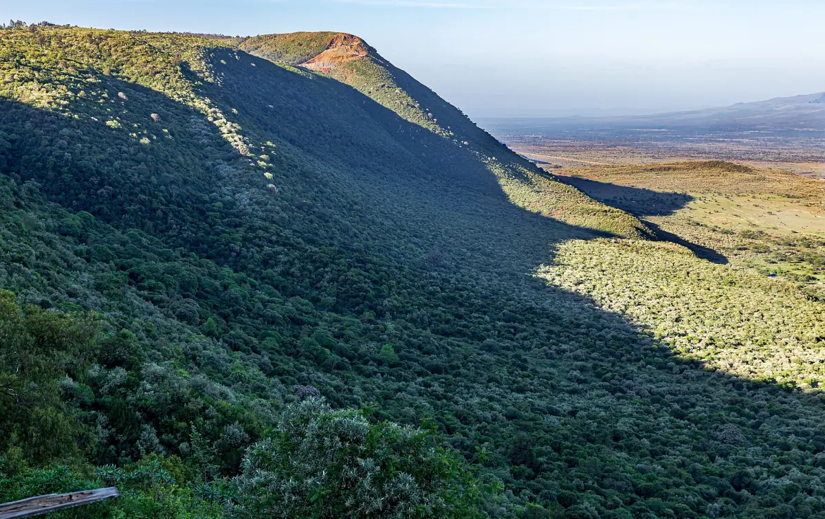
How the Great Rift Valley formed
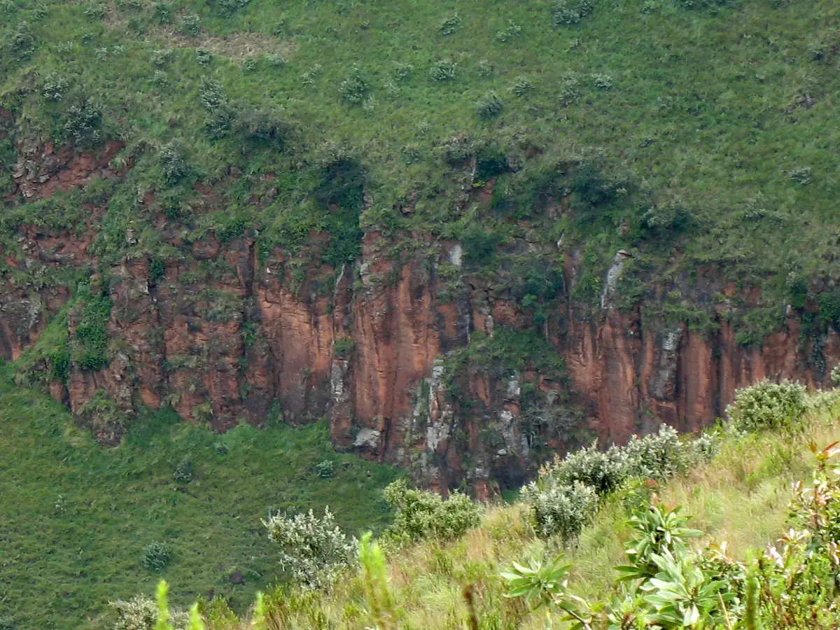
The land here is being stretched. As the crust thins and cracks, long blocks of ground sink between steep fault edges, and volcanoes build up along the weak lines. That is why the valley has straight, steep walls, called escarpments, and a flat or gently rolling floor. Volcanic and geothermal activity are part of the same story. Menengai Crater and the hot springs at Lake Bogoria both belong to it.
One number is easy to misread. The figure of about 3,000 km describes the entire East African Rift System, which runs from Afar to western Mozambique. It is not the length of the Kenyan section alone.
Our pick: a Rift Valley viewpoint stop
This day trip includes a viewpoint stop over the Rift Valley alongside the game drive in Lake Nakuru.
Hand-picked tours, booked through GetYourGuide. Prices are indicative starting prices in US dollars (as of October 2026). Tap a tour for live availability and the current price in your currency.
Lake Nakuru tours and day trips
Day trips from Nairobi, safaris and combinations that cross the Rift Valley, with live prices and availability.
Why the lakes change
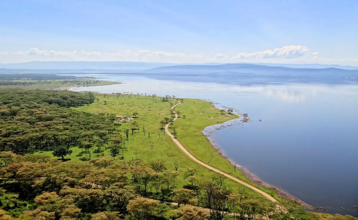
The lakes of the Rift Valley change with the water they receive. At Lake Nakuru, rising water since around 2010 has diluted the salt and alkalinity that the lake's flamingo food depends on. The Kenya Wildlife Service estimates that the lake surface is about 70 percent larger than the 1984 to 2009 average, and about 28 percent larger at Lake Bogoria. These are estimates of surface area against an average period, not a rise in water depth.
For visitors, that means older maps and photos can mislead. Roads near the shore can be flooded, and the places where you once saw flamingos may have moved. See the pages on flamingos and weather and travel planning before you set a date.
Rift Valley lakes and craters near Nakuru
Lakes found in the Kenyan Rift, and which ones belong to the UNESCO listing.
| Lake | In the UNESCO Kenya Lake System | Guide on this site |
|---|---|---|
| Lake Nakuru | Yes | Lake Nakuru safari |
| Lake Elementaita | Yes | Lake Elementaita |
| Lake Bogoria | Yes | Lake Bogoria |
| Lake Baringo | No | – |
| Lake Naivasha | No | – |
| Lake Turkana | No, it has its own listing | – |
| Lake Magadi | No | – |
The lakes sit in the same valley, but they are not joined by water. Do not expect one continuous lake chain. For most visitors with a few days around Nakuru, the three listed lakes plus Menengai Crater make the most compact Rift Valley circuit.
Rift Valley viewpoints
You can see the valley without entering a park. A well-known roadside stop is the Rift Valley View Point on the Nairobi to Nakuru road near Mai Mahiu, where the road runs along the escarpment. Treat it as a roadside stop, check parking and road conditions when you arrive, and keep valuables out of sight in the car.
Inside the national park, Baboon Cliff and Makalia Falls give you views over Lake Nakuru and the forest. Menengai Crater offers a different view, from the rim into a wide caldera. Each has its own access rules, so read the page for the place you plan to visit.
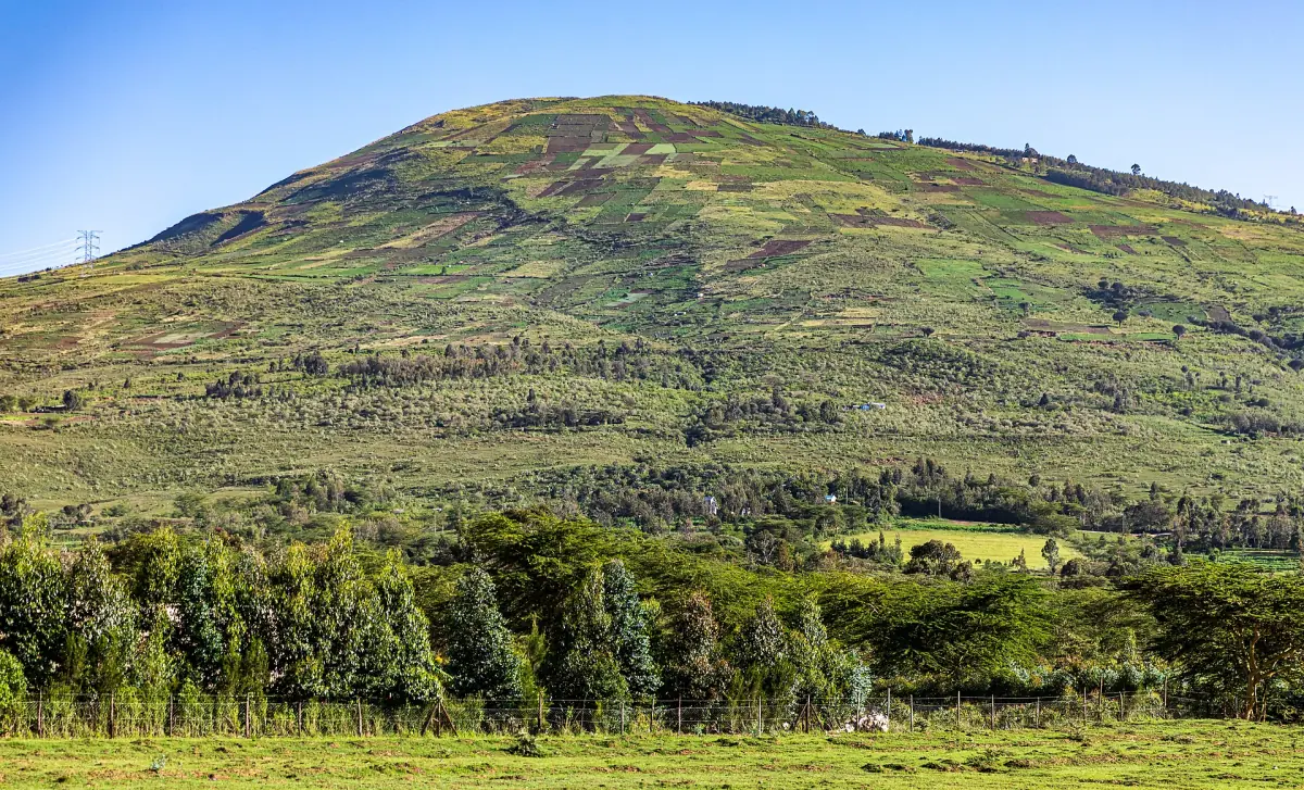
Plan a Rift Valley route
Three practical points.
Follow the A104
Lake Nakuru National Park lies 156 km north-west of Nairobi on the A104. Lake Elementaita sits on the same road, about 45 km south of Nakuru.
Match each stop to its rules
Parks, sanctuaries and forests each have their own fees and hours. A roadside viewpoint does not follow any of them.
Add the right neighbours
Starting in the capital? There is a guide to getting to Lake Nakuru. Heading on to Kenya's other parks? See the Maasai Mara or Nairobi National Park for their own guides.
Places in the Rift Valley
Pages for the lakes and craters of the Nakuru area.
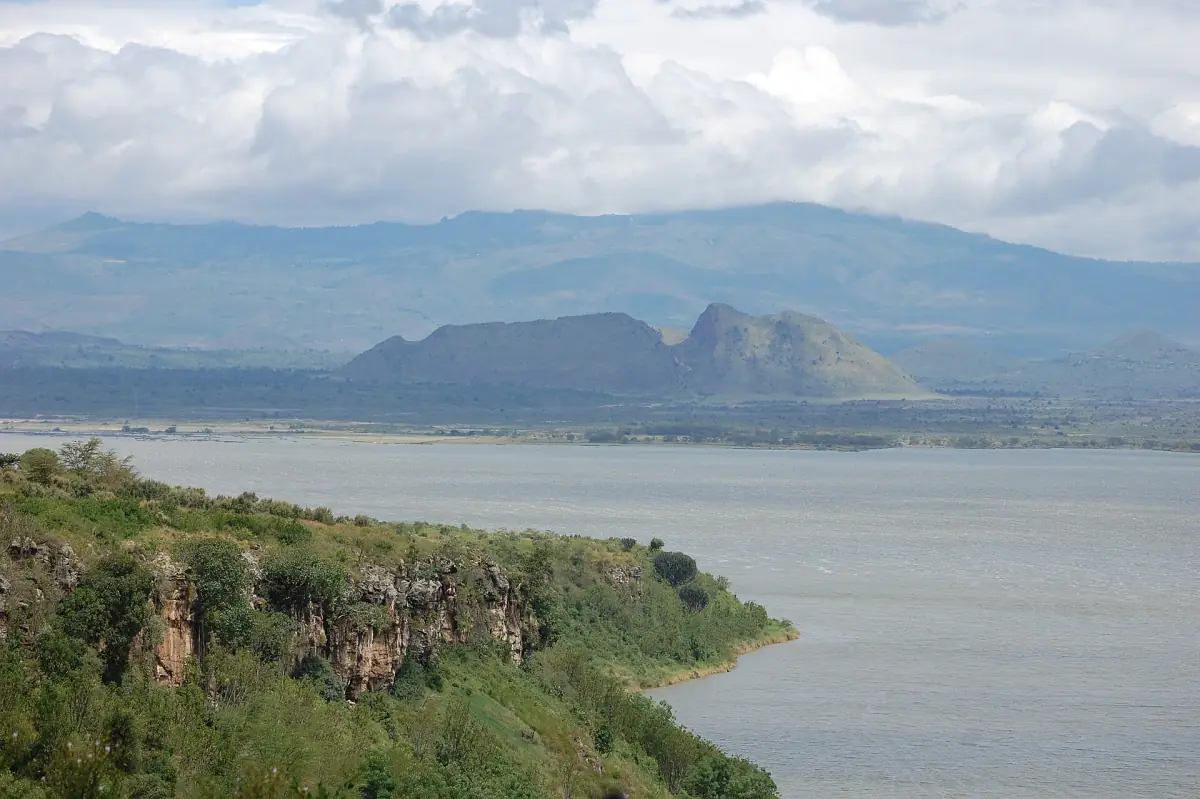

Great Rift Valley Kenya: frequently asked questions
Where can I see the Great Rift Valley in Kenya?
Around Nakuru, you see it from the road on the escarpment near Mai Mahiu, from the viewpoints in Lake Nakuru National Park and from the rim of Menengai Crater.
How long is the Great Rift Valley?
The East African Rift System is about 3,000 km long, from Afar to western Mozambique. That is the length of the whole system, not of the Kenyan part alone.
Which lakes belong to the UNESCO Kenya Lake System?
Lake Nakuru, Lake Bogoria and Lake Elementaita. Lake Naivasha, Lake Turkana and Lake Magadi are not part of this listing.
Is the Rift Valley viewpoint near Mai Mahiu free?
It is a roadside stop. Check parking and the state of the road when you arrive, and do not leave valuables in the car.
Are all the Rift Valley lakes connected?
No. The lakes lie in the same valley but are not joined by water.
Is lake-nakuru.org an official Rift Valley site?
No. This is an independent travel guide. It is not connected to the Kenya Wildlife Service, Nakuru County, UNESCO or any tour operator.